Drone or UGV for solar farm inspection: coverage, sensors and when to combine them
Updated 2026-11-17 · YUANZHI ROBOTICS engineering team
Short answer: a drone is the right tool for module thermography across the array, because it covers large areas per flight and looks down on the panels from the angle where hotspots, failed bypass diodes and cracked cells actually show up. A UGV (unmanned ground vehicle) is the right tool for the equipment and infrastructure at ground level: inverters, combiner boxes, transformers, cable trenches, fences and the conditions under trackers, where you want the same close viewpoint on every round. Plants above a few megawatts usually end up using both, with one asset list tying the two data streams together.
What actually fails on a solar farm, and where you see it
Split your defect list by where the evidence is. Module faults such as cell hotspots, open bypass diodes, disconnected substrings, potential-induced degradation patterns and heavy soiling all appear on the front face of the module, as temperature differences across thousands of panels. Balance-of-system faults appear somewhere else: a loose lug in a combiner box, a warm busbar in an inverter cabinet, a noisy transformer fan, an open cabinet door, eroded ground under a pile, vegetation reaching the lower module edge, a cut fence. The first group is an aerial survey problem. The second group is a ground patrol problem. Most of the drone vs UGV debate disappears once the defect list is sorted this way.
Side-by-side comparison
| Factor | Inspection drone | UGV |
|---|---|---|
| Module hotspot survey | Strong: top-down view, whole blocks per flight | Weak: low grazing angle, glare and sky reflection |
| Inverters, combiners, transformers | Limited: roofs and enclosures block the view | Strong: stops at a fixed point, can dwell and repeat |
| Under trackers and between rows | Not visible from above | Drives the row, sees piles, cables and ground |
| Weather window | Needs good irradiance for thermography, limited by wind and rain | Works in more weather; thermal checks on equipment are less irradiance-sensitive |
| Night and security rounds | Possible, but short flights and airspace rules apply | Natural fit for perimeter patrol with thermal and lights |
| Payload budget (listed) | DJI Matrice 4T about 0.2 kg; Matrice 350 RTK about 2.7 kg | Clearpath Husky A200 about 75 kg; AgileX Hunter 2.0 about 150 kg; Clearpath Warthog about 272 kg |
| Main constraint | Flight time, regulations, irradiance window | Row spacing, ground condition, slope and mud |
The payload numbers matter more than they look. A drone payload is usually one camera plus whatever the airframe already provides. A UGV can carry a radiometric thermal camera, a LiDAR for localization, an RTK GNSS receiver, a 4G/5G modem and an onboard computer at the same time, so it can process data on the vehicle and send alarms rather than raw video.
Getting drone thermography right
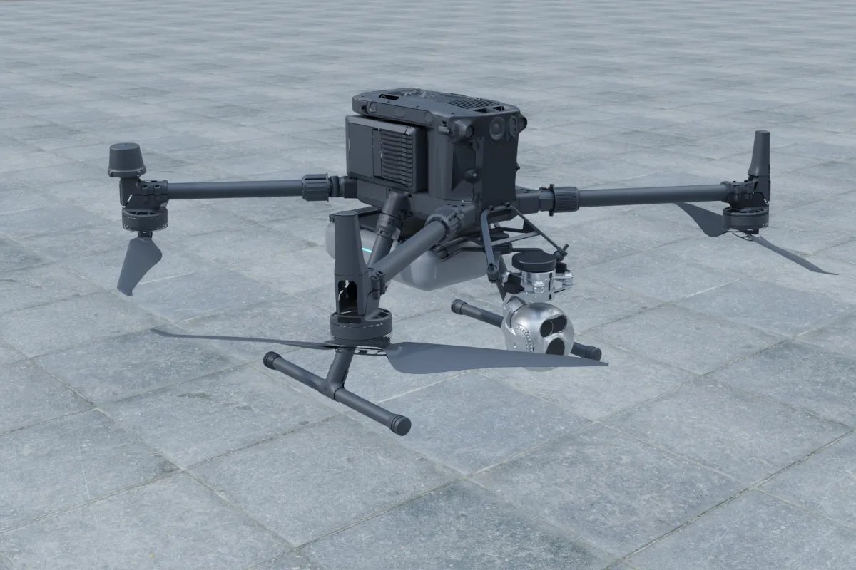
Drone results on PV depend more on capture conditions than on the camera. Practice guidance for outdoor PV thermography, such as IEC TS 62446-3, asks for stable, high plane-of-array irradiance (commonly a minimum of 600 W/m²) so modules are under real load, and for capture angles that avoid reflecting the sun or sky into the lens. In practice that means flying around midday on clear days, planning flight lines along the rows, and keeping altitude consistent so the ground sampling distance is the same from block to block. The deliverable that operators can use is not a folder of images but a list of anomalies with block, row and module position, plus an RGB image of the same module to rule out bird droppings and shading. That last step is software: mapping each thermal detection back to the site layout using RTK positions and the as-built drawing.
What a UGV adds at ground level
A UGV earns its place where the asset needs a close, repeatable reading. Typical round content on a solar plant:
- Thermal scan of combiner boxes and inverter cabinet vents at a fixed standoff, compared with the previous round and with neighbouring units under similar load.
- Acoustic or vibration-style checks of transformer and inverter fans.
- Visual checks of cabinet doors, warning labels and cable glands, and reading of analog gauges or indicator lamps at substations.
- Row patrol to log vegetation height near the lower module edge, washouts around piles and damaged cable trays.
- Night perimeter rounds with a thermal camera to flag people or vehicles at the fence.
Navigation is usually RTK GNSS outdoors, because rows are long and repetitive and LiDAR-only localization can drift in such symmetric scenes. A dual-antenna receiver such as the Unicore UM982 (listed at about 1.8 g module weight and 0.6 W) also gives heading at standstill, which helps when the UGV starts a round between two identical rows. We cover the trade-offs in RTK GNSS on a robot; the same reasoning applies to wheeled and tracked bases.
Choosing the ground platform
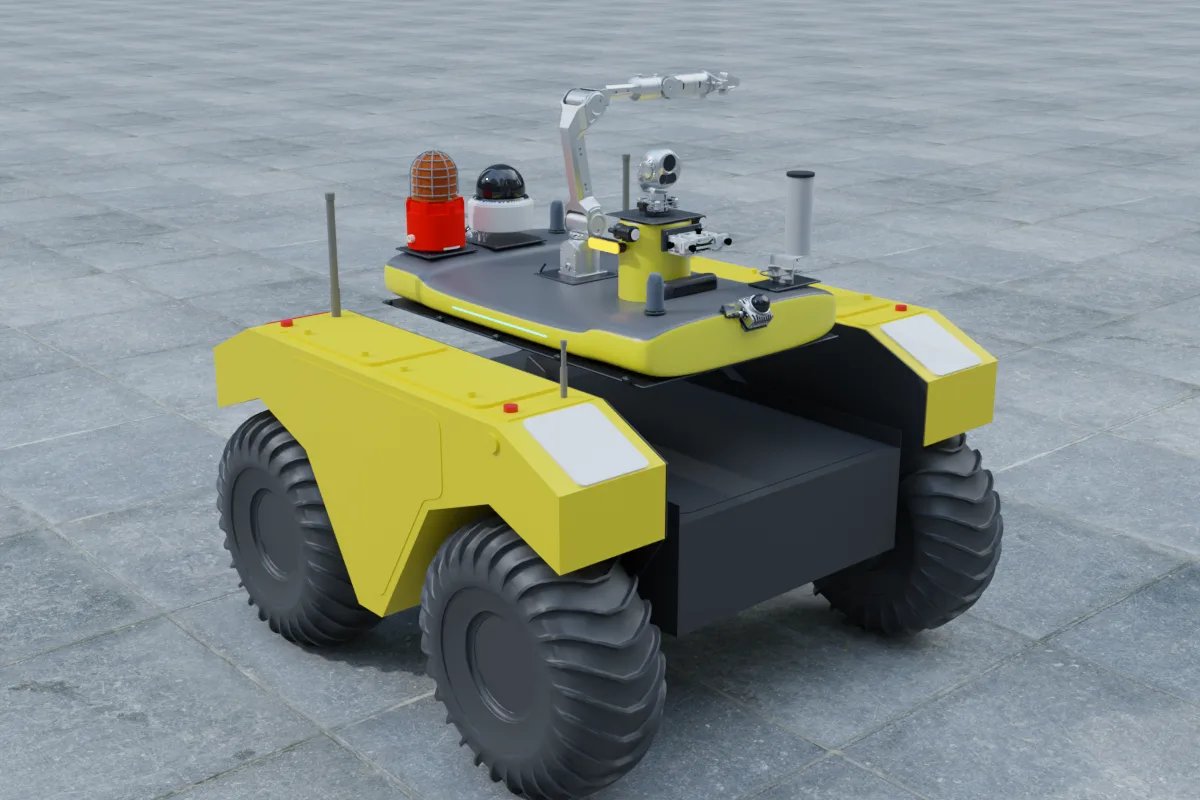
Measure the clear width between rows at the lowest tracker angle, and walk the site after rain. A compact base such as the Clearpath Husky A200 (listed dimensions about 990 × 670 mm) fits most fixed-tilt rows and carries a full sensor mast. The AgileX Hunter 2.0 suits gravel service roads and longer patrols. On large sites with soft ground, tall grass or slopes, a heavier base such as the Clearpath Warthog is more realistic, at the cost of needing wider access. Whichever base you choose, plan where it parks and charges, and make sure the round can be resumed after a stop for tracker stow or maintenance traffic. See our Warthog payload guide for mounting and power notes on large outdoor bases.
When to combine them
Combine the two when the plant has both kinds of defect list and someone will act on both. A common pattern is a drone thermography survey on a fixed schedule during the high-irradiance season, plus UGV rounds on a short cycle for inverter stations, substations and the perimeter. The integration work is mostly data: one asset register (block, row, string, combiner, inverter), one coordinate frame for drone and UGV positions, one alarm format, and one dashboard where a string-level hotspot from the drone sits next to the combiner box reading from the UGV. Without that, the two robots produce two archives that nobody cross-checks.
Next steps
Start with your defect list and your site layout, then choose platforms. You can sketch a payload in our online configurator, look at the DJI Matrice 350 RTK, Clearpath Husky A200 and Clearpath Warthog pages, and read how we approach drone payloads, UGV payloads and inspection robot software. For a broader site comparison including legged robots, see robot dog or drone for site inspection.
FAQ
Is a drone or a ground robot better for solar panel hotspot detection?
A drone. Hotspots, bypass-diode faults and cracked cells are read from the module surface, and a drone sees thousands of modules per flight from a consistent angle. A ground robot between rows sees modules at a steep, low angle where sky reflections and glare dominate, so it is a poor tool for array-wide module thermography.
What can a UGV do on a solar farm that a drone cannot?
Stop at the same inverter, combiner box or transformer every round and hold a thermal camera, acoustic sensor or gauge-reading camera close to it for a fixed time, work under trackers and in light rain or wind that grounds small drones, carry a heavier payload with its own computer and radio, and patrol the fence line at night.
What conditions are needed for drone thermography on solar modules?
Clear, stable sunlight so the modules are under load. Industry practice for PV thermography, such as IEC TS 62446-3, asks for a minimum plane-of-array irradiance (commonly 600 W/m²) and steady conditions during capture. Low sun, passing clouds and wind reduce contrast and repeatability.
Can one software platform handle both drone and UGV solar inspections?
Yes, if both robots tag findings with the same site asset IDs (block, row, string, inverter) and the same coordinate frame. A shared dashboard then shows module hotspots from the drone next to equipment readings from the UGV.
Who can integrate sensors on drones and UGVs for solar plant inspection?
A payload and software integrator that works across platforms. YUANZHI ROBOTICS designs payload mounts, power, onboard computing and inspection software for drones such as the DJI Matrice 350 RTK and UGVs such as the Clearpath Husky A200, AgileX Hunter 2.0 and Clearpath Warthog.