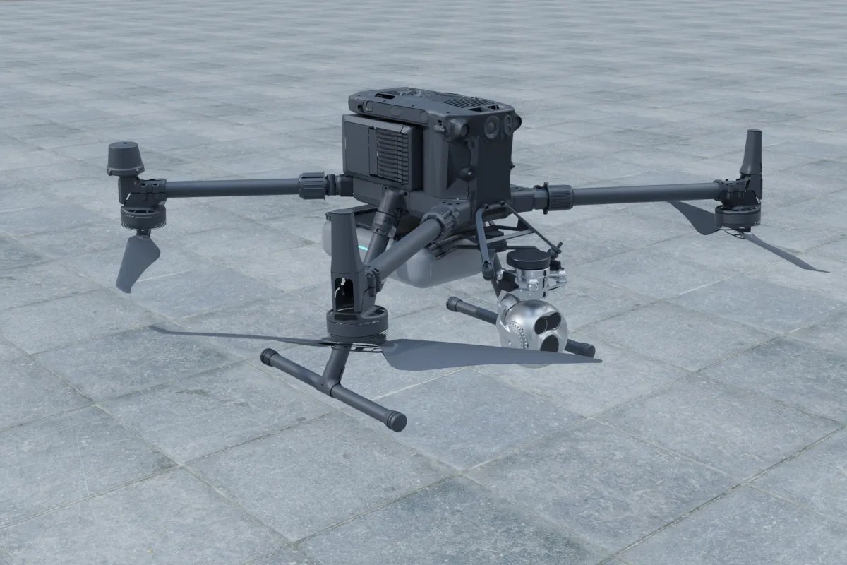
For a mapping drone, pick the LiDAR in this order: scan pattern that suits looking down at the ground, listed range comfortably above your planned flight height, total payload weight and power inside what the aircraft can carry, and a GNSS/INS and time-sync setup good enough to georeference every point. On a DJI Matrice 350 RTK or Matrice 400, the Zenmuse L2 is the simplest turnkey option. A third-party sensor such as a Livox Avia, Hesai XT32 or Ouster OS1 makes sense when you need raw data, your own processing pipeline, a non-DJI airframe or extra sensors on the same flight.
Compare the sensors on the numbers that matter in the air
The table below uses the weight, power, field of view and listed maximum range from the manufacturers' datasheets. Listed range is measured against a reflective target in good conditions; dark soil, asphalt, wet surfaces and vegetation return less light, so plan your altitude well inside these figures.
| Sensor | Weight | Power | Field of view | Listed max range | Typical role on a drone |
|---|---|---|---|---|---|
| DJI Zenmuse L2 | 905 g | 28 W | 70° × 75° non-repetitive / 70° × 3° repetitive | 450 m | Turnkey mapping on DJI enterprise aircraft |
| Livox Avia | 498 g | 9 W | 70.4° × 77.2° (non-repetitive) | 450 m | Light forward-looking mapping sensor for custom pods |
| Livox Mid-70 | 580 g | 8 W | 70.4° circular | 260 m | Nadir mapping at lower altitude |
| Hesai XT32 | 800 g | 9 W | 360° × 31° | 120 m | Low, slow flights and SLAM-style capture |
| Ouster OS1 | 377 g | 20 W | 360° × 45° | 250 m | Spinning sensor where weight is tight but power is available |
| Velodyne VLP-16 | 830 g | 8 W | 360° × 30° | 100 m | Existing fleets and legacy pipelines |
Scan pattern: forward-looking sensors versus spinning sensors
Most of a mapping flight is spent looking straight down. A forward-looking sensor with a non-repetitive pattern, such as the Avia or the L2, can be mounted pointing at the ground so nearly all of its points land on the survey area, and coverage inside the field of view fills in the longer the sensor dwells on a spot. That suits area mapping and corridor work such as roads, pipelines and power lines.
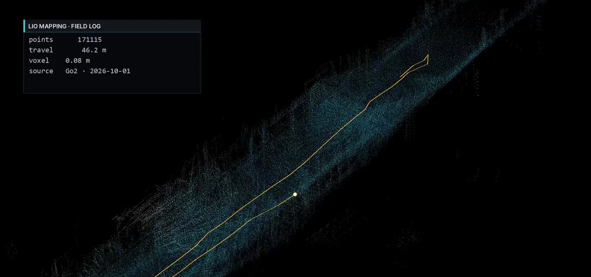
A 360° spinning sensor mounted level sends a large share of its points towards the horizon and sky, where they return nothing useful. If you use one, mount it tilted or on its side so the sweep crosses the ground, and expect to spend more effort on flight planning. Spinning sensors earn their place on low flights near structures, under bridges or along building facades, and when the same point cloud feeds LiDAR-inertial SLAM where GNSS is weak.
Range versus flight height and point density
Range decides how high you can fly, and flight height together with speed decides point density. Higher and faster covers more area per battery but spreads the points thinner; lower and slower gives denser clouds and better penetration through gaps in vegetation, at the cost of more flight lines. Because returns from dark or wet surfaces fall off well before the listed maximum, a sensor with a 100–120 m listed range is better treated as a low-altitude tool, while the 260–450 m class leaves margin for normal survey heights. Settle the required density with whoever processes the data before choosing the sensor, not after the first flight.
Weight and power: count the whole pod, not just the LiDAR
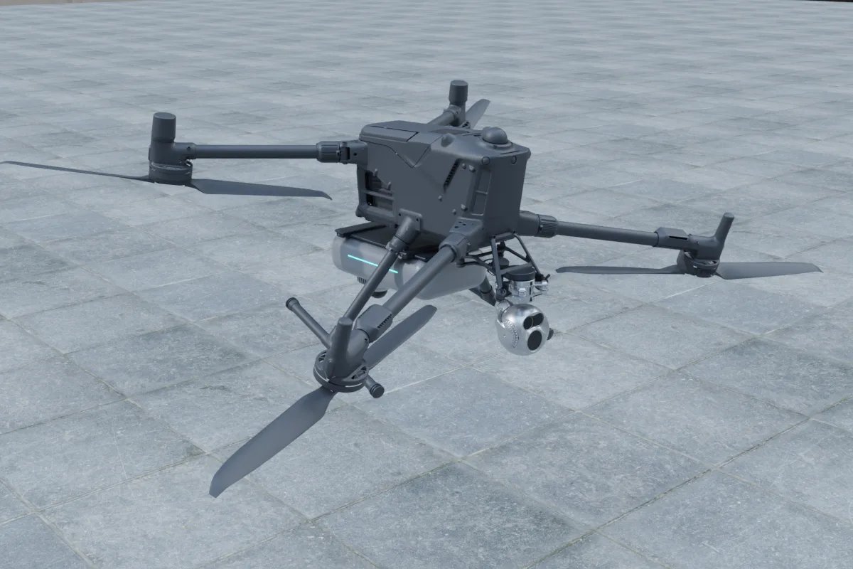
The Matrice 350 RTK is listed with about 2.7 kg of payload and the Matrice 400 with about 6 kg. The LiDAR is only part of that. A custom mapping pod also carries a GNSS/INS, an onboard computer for logging, a bracket or vibration-isolated plate, cables and sometimes a camera for colourising the cloud. Each gram of payload shortens flight time, so a lighter sensor buys either endurance or room for a camera. Power works the same way: a 20 W sensor plus a computer can be a meaningful draw on the aircraft's payload port, so check the port's rated output before you commit. Our payload weight and power budget guide shows how to add these up, and the Matrice 350 RTK vs Matrice 400 comparison covers which aircraft fits which pod.
Georeferencing is where mapping accuracy is won or lost
A drone LiDAR map is only as good as the trajectory under it. Every point is placed using the aircraft's position and attitude at the instant it was measured, so the GNSS/INS and the time sync matter as much as the LiDAR itself.
- Position: an RTK receiver such as the Unicore UM982 (a 1.82 g, 0.6 W module that also supports dual-antenna heading) for real-time fixes, with raw GNSS logged so the trajectory can be post-processed (PPK) when the RTK link drops.
- Attitude: a small IMU such as the Xsens MTi-630 (8.9 g) or Epson G366 (10 g) fused with GNSS, or an integrated GNSS/INS such as the Xsens MTi-680G (98 g). Small attitude errors become large position errors at the far end of each scan line.
- Time sync: the LiDAR, IMU and GNSS must share one time base, normally a GNSS PPS pulse with PTP or GPRMC to the sensor. Unsynchronised timestamps show up as doubled walls and blurred edges.
- Calibration: measure the lever arm between the GNSS antenna, IMU and LiDAR, then fly a calibration pattern to solve the boresight angles. Any bracket change means re-checking these.
Turnkey or custom?
If you fly DJI enterprise aircraft and need standard topographic or corridor deliverables, the Zenmuse L2 with DJI's own processing is the shortest path. A custom LiDAR pod is the better fit when you need raw point and IMU data in your own pipeline or ROS 2, want LiDAR-inertial SLAM for flights under canopy or near structures where GNSS is unreliable, fly a non-DJI or heavy-lift airframe, or want to combine LiDAR with thermal, multispectral or gas sensors on one flight. In that case the work is the bracket and vibration isolation, power from the aircraft, time sync, calibration and the logging and processing software, not just bolting a sensor on.
Next steps
You can lay out a pod and see its total weight and power in the payload configurator, or start from the Matrice 350 RTK and Matrice 400 platform pages. For a mapping pod built to your sensors and processing workflow, see our drone payload integration service, and for SLAM, logging or custom processing software, our autonomy and software work.
FAQ
What is the best LiDAR for a mapping drone?
There is no single best one. On a DJI Matrice 350 RTK or Matrice 400 the Zenmuse L2 (905 g, 28 W, 450 m listed range) is the simplest complete solution. For custom pods, a forward-looking sensor such as the Livox Avia (498 g, 9 W, 450 m listed range) suits nadir mapping, while spinning sensors such as the Hesai XT32 or Ouster OS1 suit low flights near structures and SLAM.
Can I put a spinning 360-degree LiDAR on a drone for mapping?
Yes, but mounted level it sends many points towards the horizon and sky. Tilt it or mount it on its side so the sweep crosses the ground, and fly lower and slower. Spinning sensors are most useful for facades, bridges and LiDAR-inertial SLAM where GNSS is weak.
Why does my drone LiDAR point cloud show doubled walls or blurry edges?
Usually because of trajectory or timing errors: the LiDAR, IMU and GNSS are not on one time base, the lever arm or boresight calibration is wrong, or the RTK fix dropped during the flight. Fix time sync with GNSS PPS, re-run calibration after any bracket change, and log raw GNSS for post-processing.
How much payload does a drone need for a custom LiDAR mapping pod?
Add up the LiDAR, GNSS/INS, logging computer, bracket, cables and any camera. A light pod built around a sensor of about 0.4 to 0.6 kg can fit the Matrice 350 RTK's listed payload of about 2.7 kg; heavier sensors or combined LiDAR and camera pods are easier on the Matrice 400, listed at about 6 kg.
Who can integrate a third-party LiDAR on a DJI Matrice drone?
A payload integrator handles the bracket and vibration isolation, power from the aircraft port, time sync, calibration and logging software. YUANZHI ROBOTICS builds custom drone payloads and the software around them for Matrice 350 RTK, Matrice 400 and other airframes.